CAI Signposts
Distance
Difficulty
VL4, 661
14.8 km (9.19 miles)
hiking
D+
D-
Max Altitude
828 m (2716.54 ft.)
445 m (2890.42 ft.)
938 m a.s.l. (1459.97 ft.)
Crossed protected areas
Park of Simbruini Mountains
……………………….. – Park of Simbruini Mountains
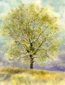
Watercolour by Giampiero Pierini
New day, new mountains, a prelude to a quartet of steps that will cross for its greatest length the Natural Regional Park of Simbruini Mountains, an awesome protected area of the Latium Apennines. It is a very open air step!
After leaving the pleasant village of Riofreddo, located in the narrow valley, one will descend just a little down to the watershed. Further, through a sustained climb, one will reach the town of Oricola, and admire from the top of the extensive prairies the middle Aniene valley with its largest village, Arsoli.
Continuing on a beautiful ridge, the view can range up to the shapes of some of the most evocative and popular Apennine mountains in central Italy. One crosses over to the side of Mount San Fabrizio, and continuing along the wide and soft watershed, you will admire the extensive plain “Piana dei Cavalieri” with its several villages.
Clearings alternating with beech woods, we enter the territory of the Park of Simbruini Mountains and, before arriving at Cervara di Roma, we recommend you to visit the wildlife area of the deer, located a bit further away from the mountain shelter of Prataglia.
